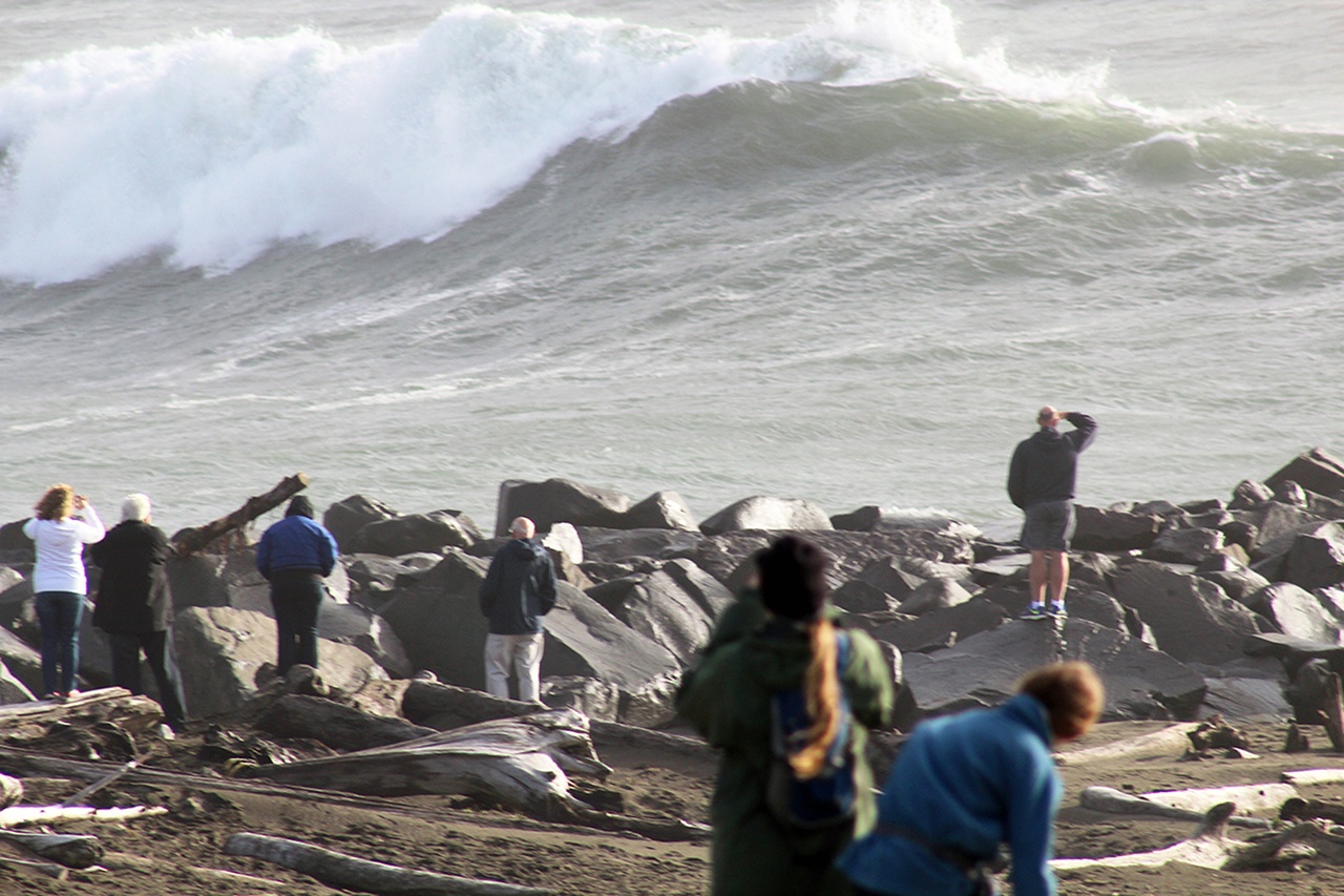
The Twin Harbors mostly ducked the first of a one-two weather punch combination headed at the coast, but is bracing for what could be a real haymaker scheduled to hit Saturday evening.
A powerful hail storm fueled by high winds and plenty of thunder and lightning awoke most folks Friday morning as the first major storm of the fall season worked its way through the coastal region in a series of weather systems.
A secondary system is expected to pack a bigger punch, arriving Saturday evening.
“The National Weather Service has estimated that we could start seeing impacts from the second storm around 6 p.m. to 10 p.m.,” said Charles Wallace of Grays Harbor Emergency Management. “Significant winds, 30-40 mph with gusts up to 75 mph are likely. This storm is the remnants of Typhoon Songda from the Western Pacific Ocean. The National Weather Service in Seattle has advised that the expected winds with Storm 2 could be in the top 10 worst storms experienced in the Northwest.”
In his blog, University of Washington meteorologist Cliff Mass wrote Friday afternoon: “The bottom line is that we have a dangerous storm, comparable to the 2006 Chanukah Eve storm or the 1993 Inauguration Day Storm, one that is following nearly a perfect track to produce strong winds over the Puget Sound region. And the coast is guaranteed to be hit hard.”
Mass wrote that if the modeling is correct, several hundred thousand people in Western Washington will lose their power this weekend.
Since about Tuesday meteorologists had been warning that the system was moving into the central coast and initially expected it to hit hard on Friday. Thursday night brought torrential rain to the coast at times. The Weather Service recorded 2.16 inches of rain at Bowerman Field in Hoquiam between 5 a.m. Thursday and 5 a.m. Friday.
Kyle Scott with the Aberdeen Wastewater Treatment Plant said 2.8 inches of rain fell between the hours of 8 a.m. Thursday and 8 a.m. Friday.
Wind speeds kicked up mid-morning Friday with gusts up to 55 mph, but no major damage was reported. Outages were reported throughout Grays Harbor and Pacific counties affecting about 800 PUD customers.
Other parts of the coast, particularly to the south, were hit a little harder, with a tornado touching down and damages homes in Manzanita, Ore., and tornado warnings issued briefly in Pacific County.
In Aberdeen, the Wishkah River near the intersection of F and Heron streets was higher than anticipated on Friday afternoon. At high tide it was observed at 13.2 feet by the Breakwater Seafood and Chowder House, which flooded last winter. That level was at least a foot and a half higher than expected, Scott said.
Water at the end of F Street where the Wishkah and Chehalis rivers come together was high and moving fast enough to cause white caps. And on the paved path along the Chehalis River behind Marshall’s water had creeped well past the break wall and over the path.
If the storm brings significant rain Saturday night, a critical time could be the high tide of almost 11 feet is predicted for 1:45 a.m. Sunday morning.
The weather resulted in the cancellation of several high school football games on the Twin Harbors Friday night.
Aberdeen First United Methodist Church, at the corner of 2nd and Broadway will be providing shelter for the area’s homeless during the storm starting at 6 p.m. and through the nights on Friday and Saturday.
Chaplains on the Harbor, 281 Spokane St., in Westport will be open beginning at 6 p.m. both nights as well.
Volunteers are needed to help with the sheltering efforts. Call (360) 581-7006 for information on how to lend a hand.
The system is expected to weaken considerably through Monday. There is a slight chance at seeing clear skies late Tuesday with about a 50 percent chance of rain over the next week.
Look for updated storm coverage in The Daily World newspaper, website, and Facebook page. Tune in to local radio and news stations or visit the Grays Harbor County PUD website at GHPUD.ORG as well.


