UPDATED APRIL 1, corrected link to database website
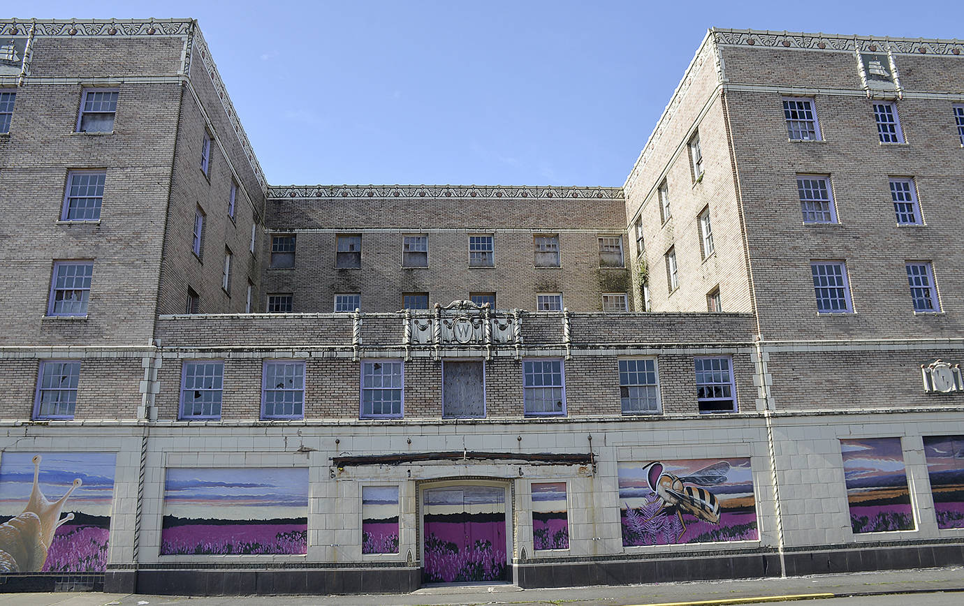
A new interactive database launched in March identifies buildings across the state that could — emphasis on “could” — pose a safety risk during an earthquake, including more than 50 in Grays Harbor County.
The database includes 34 buildings in Hoquiam and 13 in Aberdeen.
Earthquake expert Brian Terbush, from Washington State Military Department Emergency Management Division, emphasized a building’s placement on the database does “not necessarily make it a dangerous building.”
According to a statement from Gov. Jay Inslee’s office, the database — while not comprehensive — presents a list and map of “potentially” unreinforced masonry buildings, or URMs, throughout the state. An unreinforced masonry building is where there is no steel (such as rebar) to reinforce the load-bearing brick-and-mortar wall. Without reinforcement, the side-to-side motion that occurs during an earthquake could damage these types of walls.
A building made the database if it met these criteria: Records showed it was built before 1958; it was made of brick; it was not a single-family residence. Structures that didn’t meet all these criteria weren’t entirely ruled out as URM buildings — they were labeled “unknown.” That information came from souces including the State Office of Archaeology and Historic Preservation and the State Department of Commerce, said Terbush. Additional information was solicited from Main Street communities, emergency providers, assessors and local governments.
Terbush said someone, such as a contracted engineer, needs to look at the list more closely since some of the buildings were recently reinforced, and then determine which buildings need more work. While the database uses the most recent data collected, updates depend on whether the Legislature continues support and funding to solicit more information about specific buildings.
Below is a partial list of some of the Grays Harbor County properties and their URM status, if available, according to the database.
Hoquiam
The 7th Street Theatre at 313 7th St., unknown
The American Veteran’s Building at 307 7th St., suspected
The Polson Logging Company Building at 201 8th St., suspected
The New Hoquiam Garage Building at 719 L St., unknown
The Masonic Temple at 510 8th St., suspected
The Saron Evangelical Church at 732 M St., unknown
The Lumberman’s Bank Building at 718-722 Simpson Ave., suspected
The Hoquiam Depot at 719 8th St., unknown
Aberdeen
The Roosevelt Apartments at 9th and I streets, unknown
The Finnish Brotherhood Hall at 717 Randall St., unknown
The Finnish Workers Association Hall at 110-112 N. F St., unknown
The Selmer Building at 500 E. Wishkah St., unknown
The Becker Building at 202 E. Wishkah St., unknown
The Odd Fellows Building at 103-109 S. Broadway, unknown
The Finch Building at Heron and H streets, unknown
The Morck Hotel at 215 S. K St., suspected
The Electric Building at 100-106 E. Heron, unknown
Countywide
In Montesano, City Hall and the post office made the list as unknowns, as did the Grays Harbor Lighthouse in Westport. In total, 20 buildings in the county were suspected of being URMs.
Pacific County
There are 17 buildings in the database, all of them with “unknown” URM status, including the Pacific County Courthouse and St. Lawrence Catholic Church in South Bend. In Raymond, the post office and Raymond Theatre, and Methodist Church and library on Duryea Street are listed.
Elsewhere in Pacific County, the Willapa Bay Boathouse and Tokeland Hotel are listed. On the Long Beach Peninsula, there’s the Shelburne Hotel, the Ocean Park Methodist Church and the Klipsan Beach Life Saving Station.
Database creation
In 2017, Inslee tasked a subcabinet of state agency directors to improve the state’s earthquake preparedness initiatives and squeeze down recovery time in the aftermath of a disaster. The database is one of the items that came out of the subcabinet committee recommendations. The funding for the project was $200,000 from the State Building Construction account.
Conducting the study and building the database took eight months from start to finish. Alice Zillah, section manager for research services at the State Department of Commerce, said we can’t make more buildings safer during earthquakes until we know how many buildings we are talking about. So, the project was an important first step, Zillah said
“It’s important for us to understand this issue,” Zillah said. “This database represents our best estimate at this time so we can understand the scope and then further aggregate this data and ultimately remediate these buildings.”
The website — dev.gartrellgroup.com/WashURMViewer/#7/47.347/-121.029/ — allows you to search by city, county and legislative district. You can also filter the database results by ownership (public or private), building use, construction materials, URM status, historic status, construction date, and vacancy.
“What this database does is start to display the magnitude of the problem we have,” said Terbush. “With this information, we know we have to work together to figure out what the next step is.”
Experts filtered data by year, material and non-single-family residency status. They confirmed or suspected an estimated 4,400 buildings across the state to be URMs. About 395 of them are publicly owned. More than 150 are emergency services facilities, such as fire and police stations. If an earthquake were to damage these facilities, the ability of first responders to provide lifesaving functions could be compromised, noted the governor’s office statement.


