As coastal towns work to build evacuation towers — or ponder over them — and relocate schools and buildings with hopes of surviving a tsunami, the only escape for some communities, as it stands today, is to move to elevated slopes or hills before the water arrives.
In the last few years, scientists with the Washington Geological Survey have equipped people on the front lines of a tidal wave with knowledge about getting to high ground in the form of maps showing how long an evacuation would take depending on location.
The scientists coupled the maps with projections of wave arrival time following a Cascadia Subduction Zone earthquake, which could reach 9.0 in magnitude, based on different geographic locations.
Although most places in Grays Harbor and Pacific counties are now more tsunami ready than just a few years ago, officials say the research needs to continue despite potential funding cutbacks.
In a Jan. 31 letter, Commissioner of Public Lands Hilary Franz called on Richard Spinrad, the top official at the National Oceanic and Atmospheric Administration, to maintain federal funding for the program that allowed her agency, the Washington Department of Natural Resources, to produce the tsunami resources.
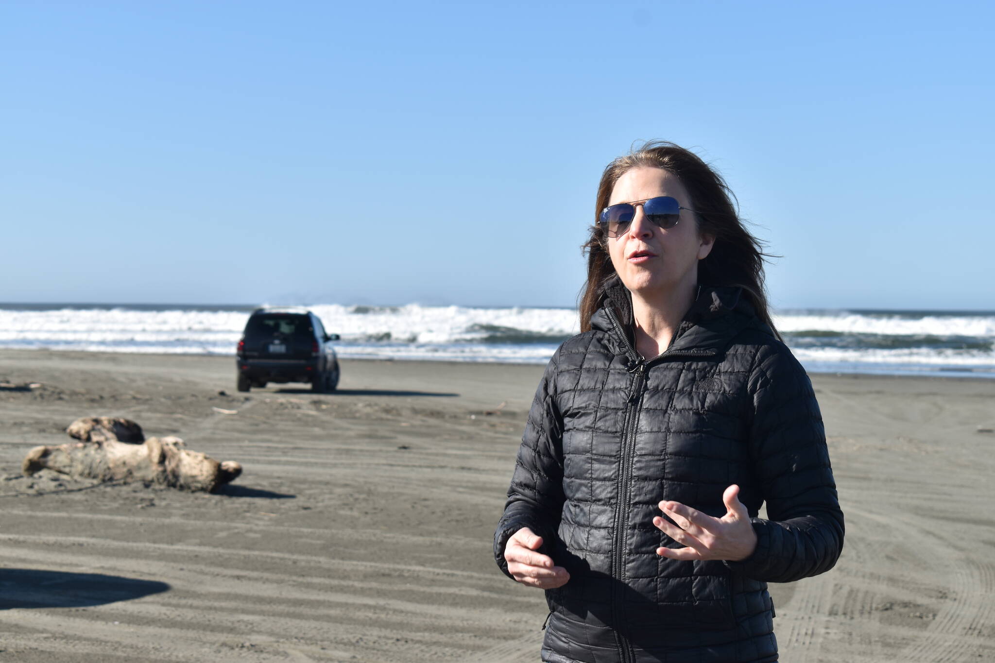
“We’re going to see tsunami waves within 30 minutes, right here,” Franz said Feb. 23, standing on the beach approach at the north end of Ocean Shores. While time varies depending on where the subduction zone ruptures, waves could arrive in Ocean Shores as quickly as 15 to 20 minutes. “That means we need people to be aware of where to go, how fast to run, where can they get to safe ground.”
NOAA’s 2024 budget request of $6.8 billion omits appropriations to the National Tsunami Hazard Mitigation Program, which helps states research topics related to tsunami preparedness.
The program was created in 2007 through Congress’ Tsunami Warning, Education and Research Act, and receives about $6 million annually. That includes a little more than $700,000 for Washington state, according to Franz.
Franz wrote that the program is “critical to support our coastal communities to stay prepared for tsunami threats and minimize potential catastrophic loss of life and property in the future.”
“We’re asking for the appropriation we’ve been getting every single biennium to continue so that we can map the entire coastline, so every community up and down the coast is aware of the risk,” Franz said in an interview.
Attempts by The Daily World to contact NOAA’s office of oceanic and atmospheric research were unsuccessful.
In 2018, scientists with the Washington Geological Survey modeled potential tsunami inundation in Southwest Washington, showing how much water would fill coastal towns during a tsunami. Later they did the same for saltwater-adjacent areas from Bellingham to the mouth of the Columbia, in the event of both a Cascadia quake and a rupture of the Seattle fault.
They also released video animations showing the modeled behavior of tsunami wave energy on the coast and in Puget Sound.
Most recently, in October 2023, the Washington Geological Survey released new evacuation walk times for seven areas on the state’s north coast from La Push to Copalis Beach, including several tribal communities. Similar maps were produced for Aberdeen, Hoquiam, Cosmopolis and Westport in 2019, as well as Ocean Shores in 2022.
To make the maps, geologists use tools developed by the U.S. Geological survey that calculates walking speeds based on different types of terrain.
For some areas of Grays Harbor, Willapa Bay and the northern Olympic Peninsula, a 2014 tsunami brochure, which does not model walk times, is the most recent location-specific evacuation information.
“We have a long way to go,” said Maximilian Dixon, an outreach supervisor with the Washington State Emergency Management Division. “We still have a number of areas along our 3,000 miles of coastline that need pedestrian evacuation walk maps.”
Dixon said the state emergency management division applies for federal grant funds each year through the program and administers a portion to the Washington Geological survey. The funding is “absolutely essential” and provides “basically all of the tsunami work and all of the projects for tsunami risk reductions in Washington state,” he said.
It took about a decade, Dixon said, to produce generic models for Cascadia. But the 700-mile-long fault, which last ruptured more than 300 years ago, has the potential to slip in more ways than one, producing different levels and types of threats. And Cascadia is not the only potential source for a tsunami on the Washington coast.
With future research, Washington geologists could examine which tsunami threats are most likely to occur and at what intervals, Dixon said, which will help emergency managers make better decisions to keep people safe.
“That’s going to be a great product,” he said. “It’s an update. The science, and our ability and technology, are changing, and we’re going to be able to do that now. But that’s going to take a whole number of years to do.”
At the same time, the location of high ground on the coast is constantly changing as communities build vertical evacuation towers. When the Shoalwater Bay Tribe completed a tsunami structure in Tokeland in 2022, the state updated evacuation routes to reflect the new safe haven, which cut walk times by one-third in some areas. The city of Westport recently received federal funding for a tower in its marina district and wants to dot the South Beach peninsula with several more.
Although the national tsunami program has maintained support for close to 20 years, this isn’t the first time funding has been uncertain.
Dixon recognized the challenge for NOAA to maintain funding for its many research projects and programs.
“Tsunamis are not at the top of the list, in a lot of ways, because they don’t happen very often, unlike hurricanes and floods and other weather-related hazards,” he said, adding, “They’re catastrophic when they do happen, but they don’t happen very often.”
Contact reporter Clayton Franke at 406-552-3917 or clayton.franke@thedailyworld.com.


