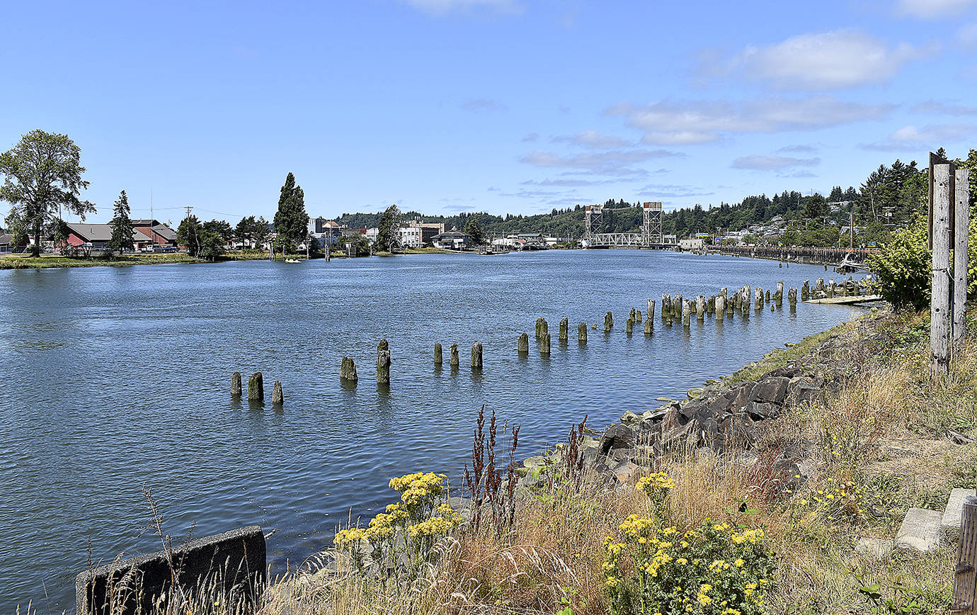
As Aberdeen and Hoquiam continue to search out funding for its ambitious North Shore Levee and North Shore Levee West Segment projects, local elected and Port officials gave Congressman Derek Kilmer a first-hand look at where the project would go Friday morning.
First stop was the Fry Creek pump station, a stormwater pump that is considered the linchpin of the two projects. The project was able to secure some $14 million in funding in the last legislative session and, according to Hoquiam City Administrator Brian Shay, will be going out for bids in the next 90 days.
Ty Johnson, project engineer from HDR Engineering, explained to Kilmer and the rest that during a 100-year flood event, Fry Creek, which flows out of the hills to the north down across Simpson and Sumner avenues between Myrtle and Oak streets, could reach as much as 300 cubic feet per second of flow.
The current pump station can’t handle the flow of a smaller rain event and flooding is prevalent in the area during storms. And, “it is a big fish-killer,” said Aberdeen Public Works Director Rick Sangder — it has no protection for the salmon that used to spawn in pretty good numbers in the creek.
The new pump station will have four, 250 horsepower pumps and a tide gate, which can be open and closed depending on the flow and tides. The station will be secured into the ground with 80-plus steel piles buried up to 130 feet deep. It will also have fish screens to protect salmon smolt and other fish species.
The tour then wrapped around to the Hoquiam Farmer’s Market and the deck and walkway behind it. There, Kilmer was shown where the two levees would complement each other — the North Shore Levee protecting the east bank of the Hoquiam River, the West Segment, obviously, the west side, running down Levee Street past the Swanson’s, and wrapping around the police station. In total, the West Segment will stretch 4.7 miles and protect thousands of homes, businesses and properties from flooding, and remove them from the federal flood insurance requirement.
The North Shore Levee will run from up the west side of the Wishkah River south and west to the west side of the Hoquiam River, a total of 6.2 miles, and will remove more than 3,100 properties from the federal flood map. Between the two levies, more than $2 million in federal flood insurance premiums would be removed from Hoquiam and Aberdeen property owners.
Recently, Kilmer’s recommendation for close to $10 million for the two cities’ levee projects passed out of the U.S. House of Representatives, part of the massive INVEST in America Act for infrastructure improvements.
After the tour, Kilmer said, “What’s exciting about this project is it’s a three-fer,” meaning there were at least three major benefits to the region.
“One, about $2 million leaves the community each year in flood insurance premiums, so getting this done keeps those dollars in the community,” said Kilmer.
It would be a boon to economic development as well.
“One of the things the community has recognized is in the absence of fixing this it’s hard to get new economic development and new housing development because people are reticent to invest in the floodplain,” said Kilmer.
Third, Kilmer noted being in the floodplain makes it difficult to property owners to make improvements. This often leads to properties just being left to deteriorate — essentially, if making even basic improvements to a property in the floodplain requires steps that will cost more than a floodplain property is worth those improvements aren’t going to be made.
“This has just extraordinary potential to help the bottom lines of the families here on the Harbor,” said Kilmer.


