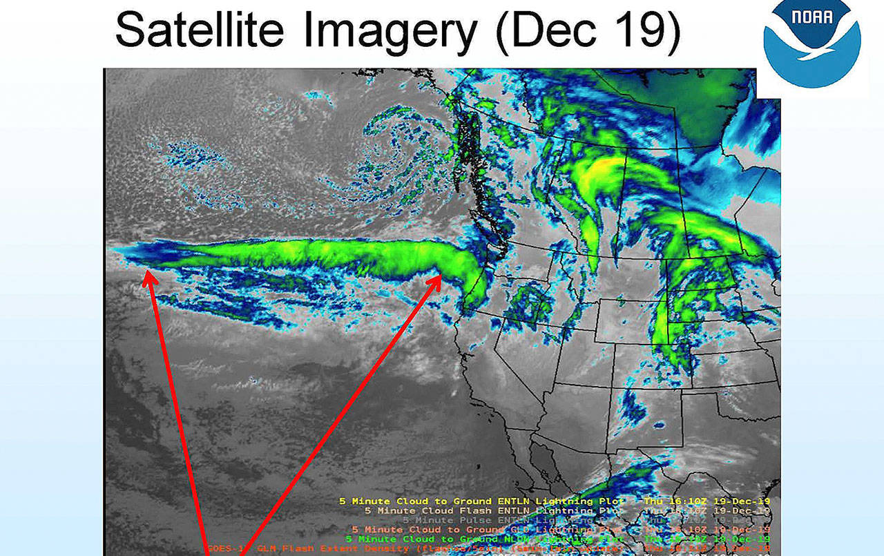
The chance for river flooding has decreased — but remains a possibility — and wind impacts “look less likely” in the latest forecast released by the National Weather Service at 1:30 p.m. Thursday.
While Aberdeen, Hoquiam and the east county can still expect up to six inches of rain between Thursday afternoon and Saturday, “small changes in the precipitation forecast combined with an unusually dry fall means the rivers will not respond the same as they typically would during December,” according to the Weather Service statement. However, at the time of the forecast the Weather Service said rivers in the Chehalis River basin could produce localized flooding, and flooding in urban areas is possible.
In Hoquiam, city crews are “geared up and ready for a typical Grays Harbor winter rain storm,” said City Administrator Brian Shay.
Shay said sand bags are available for citizens if needed and are located near the city gate on M. Street behind the city shop.
High tides can contribute to localized flooding, but Shay said the “worst high tides should come after the rain dies down, hopefully.” High tides of 10.18 feet and 10.66 feet are expected Friday and Saturday mornings. Tides of more than 11 feet are coming Sunday-Tuesday, but the rain is supposed to diminish significantly by Saturday morning.
There will be widespread wind gusts of 20-25 mph, with stronger gusts along the immediate coast. Gusts to 40 mph are possible in Westport and elsewhere along the coast.
Pacific County
Shortly after the latest forecast Thursday afternoon, the Pacific County Emergency Management Agency released a statement, saying, “We are anticipating 4-6 inches of rain between now and Saturday. In order to have widespread flooding we generally need to see six inches of rain in a 24-hour period. At this point it appears that we will have a blustery wet week, but with limited impact.”
Wind gusts in Raymond could reach 26 mph through Friday night, with stronger gusts to 40 mph possible along the immediate coast.


