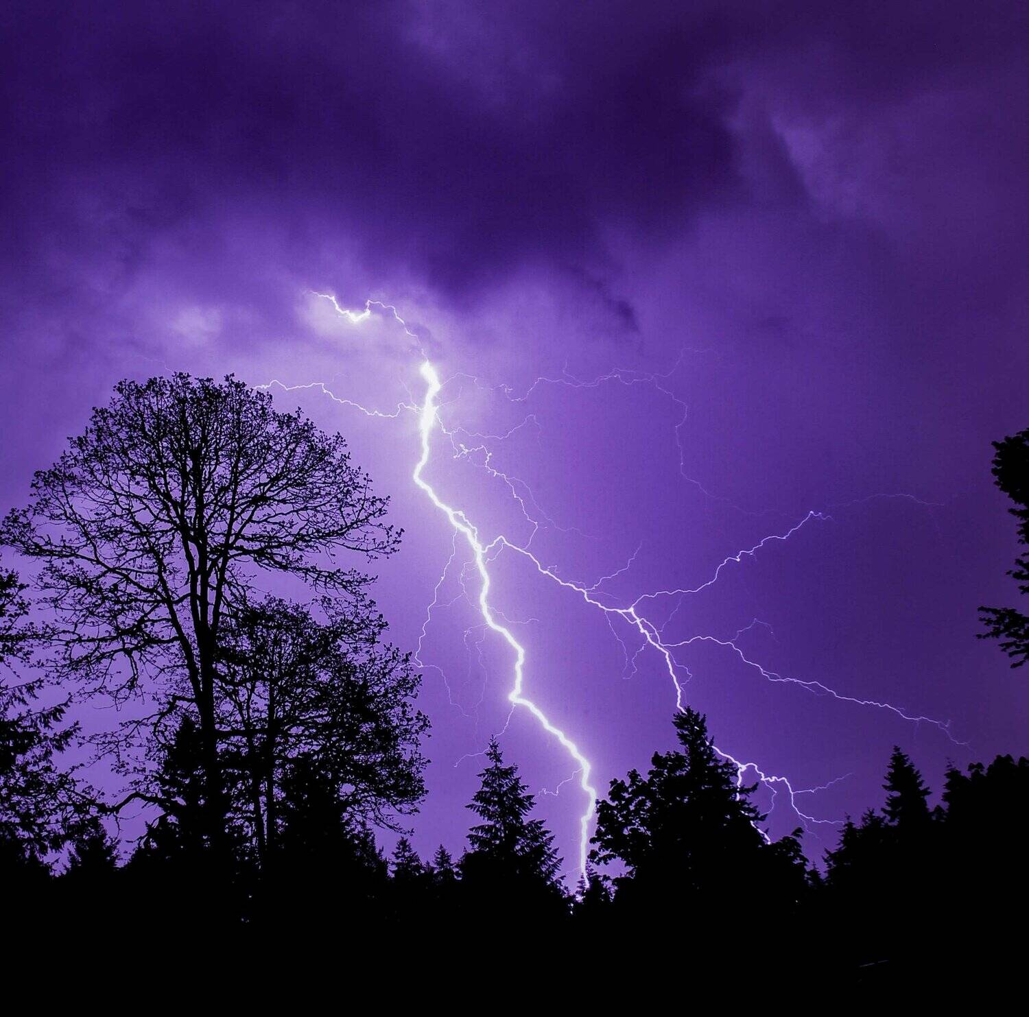
Much of Western Washington could see isolated severe storms that are capable of producing significant hail, lightning and severe wind in the afternoon Wednesday, March 26.
The National Oceanic and Atmospheric Administration’s (NOAA) National Weather Service Storm Prediction Center has identified a 2% probability of a tornado in the severe weather zone. The possibility of a tornado is extremely low, but the forecasted probability is rare for the region.
South Beach Regional Fire Authority posted on Tuesday afternoon that thunderstorms could start popping up in the afternoon and evening of Wednesday, with a 30-50% chance of some thunder and lightning. While tornadoes are unlikely, we can’t rule out a little spin-up here and there. Some storms might get feisty, bringing in hail bigger than 1 inch or winds over 58 mph.
The first storms could start showing up on the Olympic Peninsula before 10 a.m., but the real action will roll in from the south after 4 or 5 p.m., just in time to shake up your commute. Watch out for potential impacts near local burn scars, which could lead to debris flows or mudslides.
After Wednesday, a cooler, unsettled pattern will settle in on Thursday and stick around through the weekend. You can expect more rounds of rain (lowland showers and mountain snow), but nothing too crazy is on the radar for now.
If you’re heading to the coast, brace for some high surf on Thursday — waves could reach 20 feet. The elevated sea conditions may hang around into Friday.
The Puget Sound Storm Watch Facebook page stated that central and western Lewis County has the greatest chance to see a tornado as the Significant Tornado Parameter Index labels a 3.55 over the area. They added that anything more than a 1 on the index is extremely rare for Washington.
The storm prediction center also upgraded the severe weather outlook from a marginal risk to a level two slight risk. Again, rare for the region. The main reason for upgraded risk is due to a rare chance of large hail. The Washington Weather Chasers Facebook page stated this is the first time in Washington state history that a severe weather prediction center has issued a risk for significant hail.
The weather event forecast for Wednesday is said by many meteorologists to be isolated storms, compared to a widespread storm system, so some areas within the current slight risk zone might see nothing while others are hit by one of the storm cells.
The general slight risk area includes the Seattle metropolitan area south to the Eugene, Oregon area along the Interstate 5 corridor and Cascade mountain range.
The National Weather Service of Portland posted across social media for residents in the region to be weather-ready.
“Check the forecast regularly to see if you’re at risk for severe weather and have multiple ways to receive warnings, watches and alerts,” they stated.
— The Reflector contributed to this report