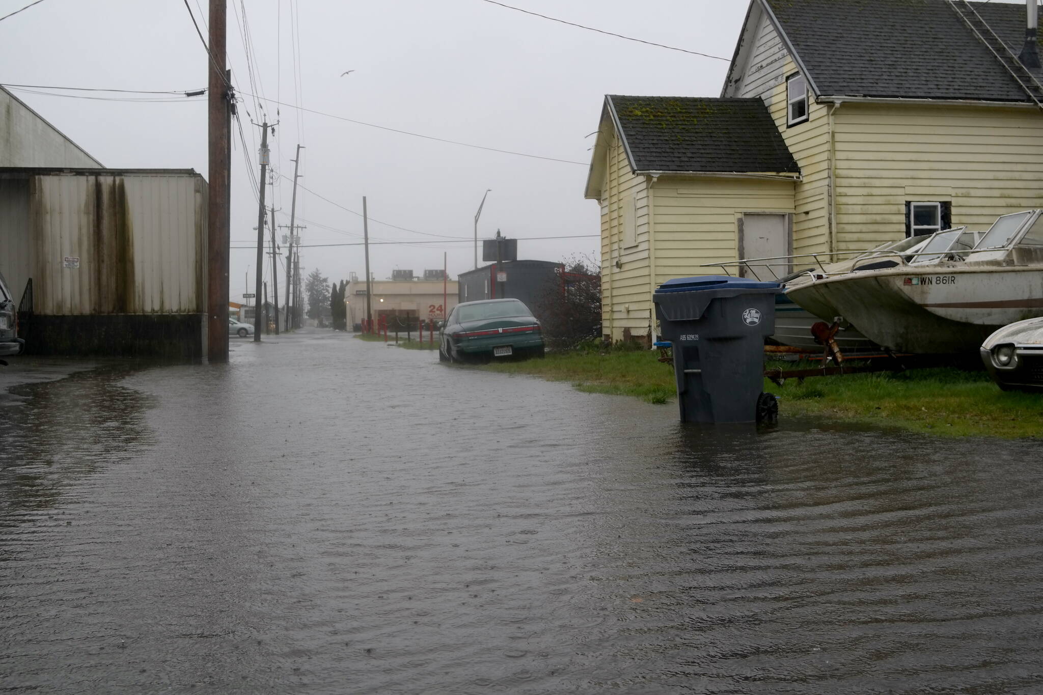
It’s going to be a wet opener for the month of March in Grays Harbor County. A stream of moisture coming off of the Pacific Ocean is bringing heavy rain across Western Washington early this week, with showers persisting through the end of the week. After a month dominated by sunny days, it seems the winter weather has decided to return to its regularly-scheduled programming.
According to the National Weather Service (NWS) Seattle Forecaster Jacob DeFlitch, Grays Harbor County had already seen about 1.5-2.5 inches of rain by Monday morning, Feb. 28.
“What we’re expecting to see through Monday and Monday night is an inch to an inch and a half of rain. Most of that will happen Monday night before tapering off Tuesday morning,” he said.
Rainfall has been heavier up near the Olympic Mountain Range, with 3-4 inches of rain from Sunday morning, Feb. 27, to Monday morning. Most of the rainfall occurred Sunday night, and led to flooding concerns for the rivers that run off the Olympics and Cascades.
“In Grays Harbor County, the focus is going to be on the Satsop River and the Chehalis River, which comes off the southern Cascades,” said DeFlitch.
As of Monday afternoon, both rivers were already approaching minor flooding warnings. Residents and commuters near the two rivers are cautioned to stay updated on the river’s conditions through NWS river flood forecasts.
The NWS issued a Flood Warning for all of Grays Harbor County through 7 a.m. on Tuesday. Particular concern is being given to urban, lowland areas that might experience small stream flooding due to the excessive rainfall.
“Streams continue to rise due to excess runoff from earlier rainfall and continued rainfall. Expect areas of slow moving or standing water and some flooding,” stated the alert.
It’s been just under two months since record-setting rainfall, snowmelt, and king tides caused rivers all over the county to spill over their banks. Homes and businesses were damaged as water covered roadways, and some Grays Harbor residents were even lost to unexpected and swift floodwaters.
While this week’s storm pales in comparison to the more than 5 inches of rainfall Hoquiam and Aberdeen experienced in just 24 hours on Jan. 6, standing water is still a possibility for local roadways.
“We might see some ponding on roadways,” said DeFlitch. “If you come across that, turn around, don’t go through the road–that’s our main concern.”
Residents should also be prepared for the possibility of landslides, as excessive rain has contributed to increased soil saturation and ground instability going into Tuesday.
Though the NWS has reported 35-45mph winds along the coastline, Grays Harbor PUD crews are no stranger to winter weather and coastal gusts.
“At this point our crews are ready to go and to respond to any potential outages as quickly and as safely as they can,” said PUD Communications & Government Relations Director Ian Cope.
As of Monday morning, crews had already restored two minor outages, and were being warned of potential roadway flooding in outlying service areas. Customers are advised to call the PUD in the event of an outage and to stay updated on service repairs online.
According to DeFlitch, Grays Harbor residents should steel themselves for more rainfall in the foreseeable future.
“Showers will probably be around the rest of the week, and we might have another system Tuesday into Wednesday that could bring some more rain–but nothing as heavy as we’re seeing right now,” he said.


